Where does Sanger's water come from?
Inside city limits, the taps run on well water that the city treats where needed. Several city wells run through carbon filters for DBCP, TCP or PFAS, per the federal drinking water record. Tombstone, an unincorporated community about two miles south, relied on private wells. In May 2025 the state broke ground on a project to extend City of Sanger water to its homes.
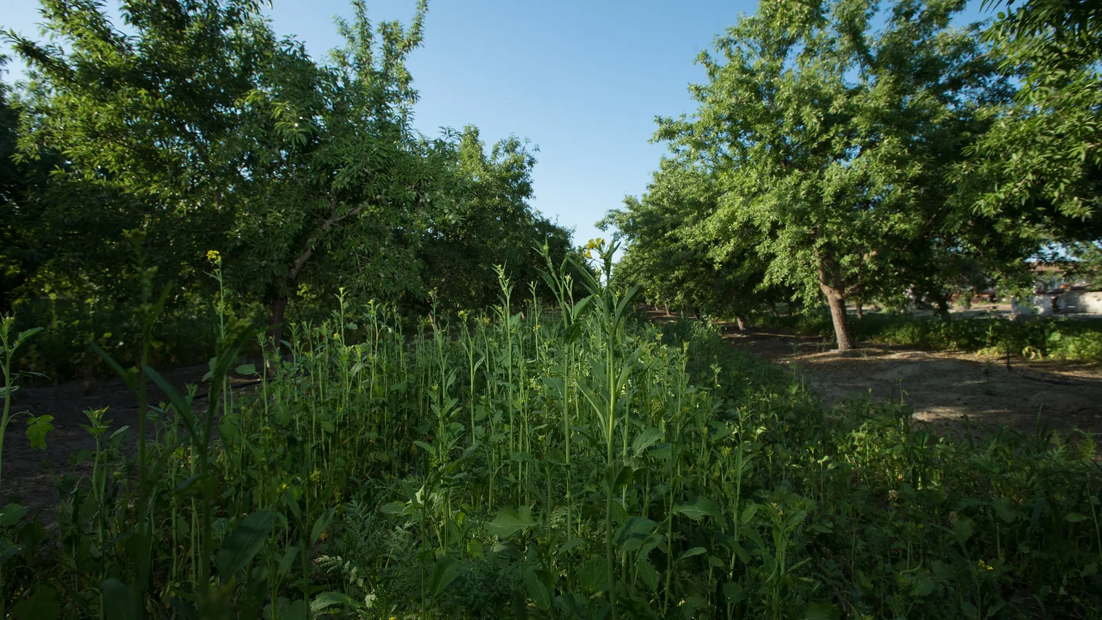
The Kings River flows past Sanger, the Nation's Christmas Tree City, through farm land that is mostly orchards and vineyards. On the USDA's 2025 cropland map, citrus, almonds, grapes and peaches cover the most ground. State records list 200 new household wells with a Sanger address from 2020 on, 67 of them in 2022.
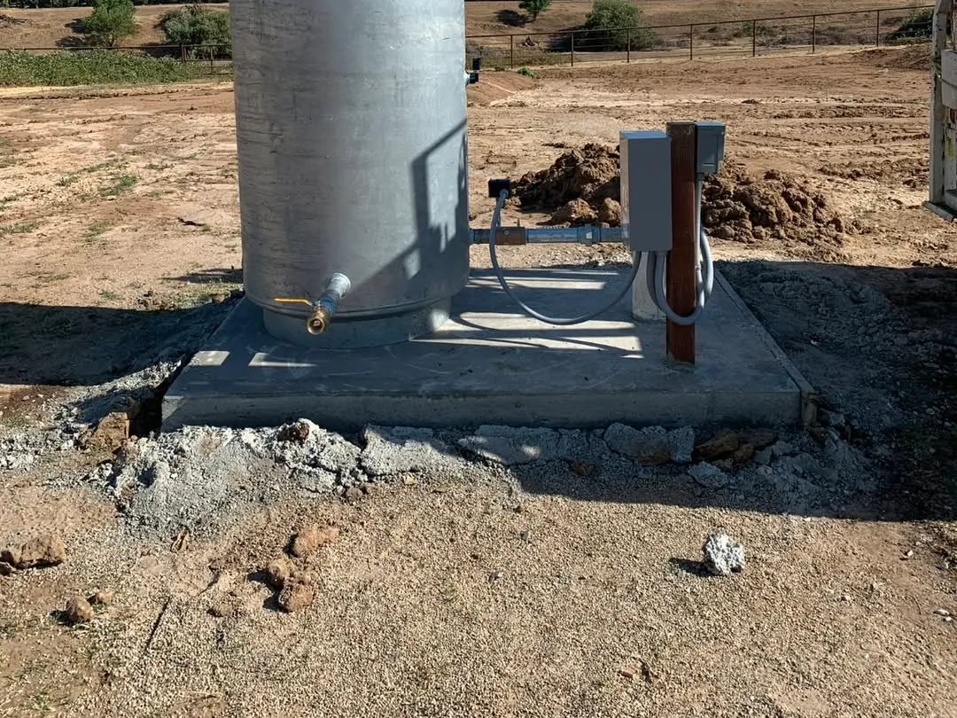
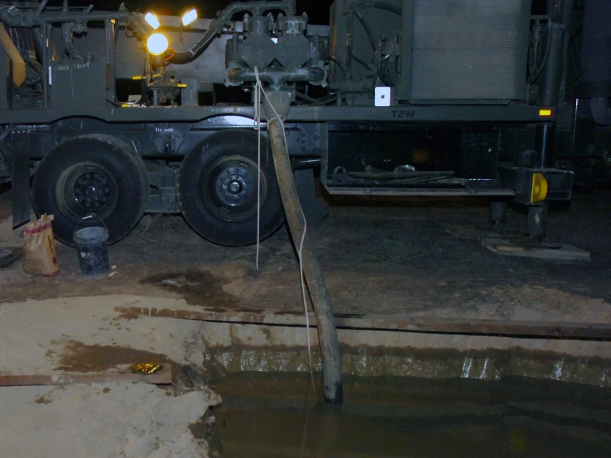
East of town, Highway 180 heads into the foothills toward Yokuts Valley and Dunlap. Homes up there sit outside the valley's groundwater basin on the state's map. Most wells drilled there from 2010 on went in with down-hole hammers, the method for rock, per state well records. Our pump crew takes on pump, pressure tank and water line work up there too.
The Kings Subbasin, SGMA and a new well near Sanger
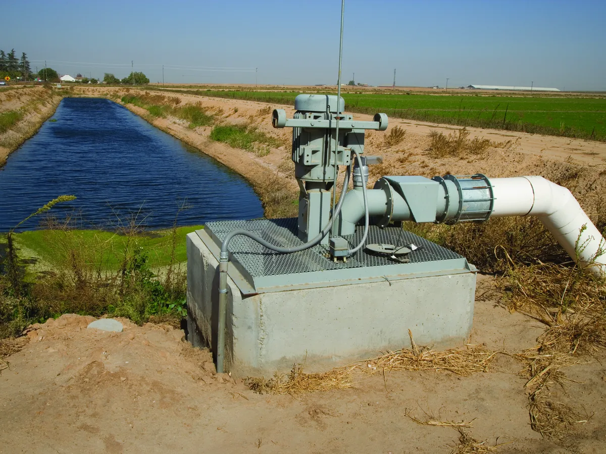
Groundwater here is managed under SGMA, the state's groundwater law, as part of the Kings Subbasin. Fresno County calls the local subbasins critically overdrafted, and they must be sustainable by 2040. Across the subbasin, storage fell by about 490,000 acre-feet from fall 2015 to fall 2025, per its latest annual report. Sanger can now run irrigation water into a 6-acre basin in the southwest part of town for groundwater recharge.
Which groundwater agency covers you depends on the side of town. On the state's GSA map, the South Kings GSA covers the city and Del Rey. North Kings covers the country north toward Centerville, and Central Kings the farm land south and west. Kings River East covers Minkler and the land east toward Reedley, and it reviews new well permit applications there.
The county permits the well, and the GSAs regulate how the water is used. For parcels in unincorporated Fresno County, we apply for the permit as the licensed driller. Drilling waits until the permit is issued, and the county says domestic permits usually process normally. Its staff inspects the sanitary seal, which must reach at least 20 feet.
Well depths, dry wells and pump work around Sanger
Wells around Sanger have long been shallower than in much of the valley, but they are getting deeper. The median new household well with a Sanger address ran about 140 feet deep from 1990 to 2009. It ran about 200 feet in the 2010s and about 300 feet from 2020 on, per state well records. Water in those new wells stood about 30 feet down before 2010 and about 70 feet down from 2020 on.
The wells that failed were mostly shallow. Most of the Sanger-address dry-well reports came in 2021 and 2022. Where households gave a depth, most of those wells were 45 to 100 feet deep. Lowering the pump can help if the well has room below it; if not, the answer is a new well.
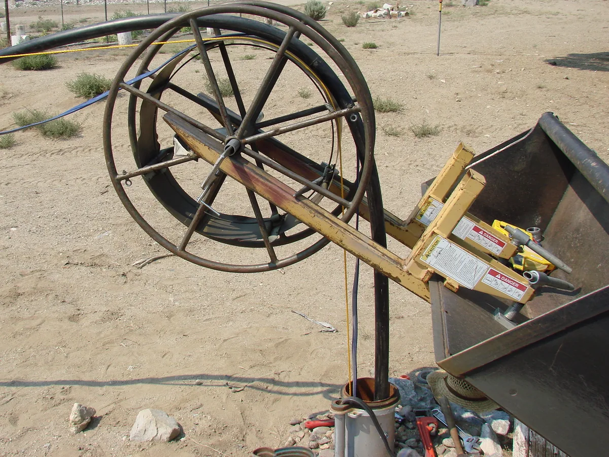
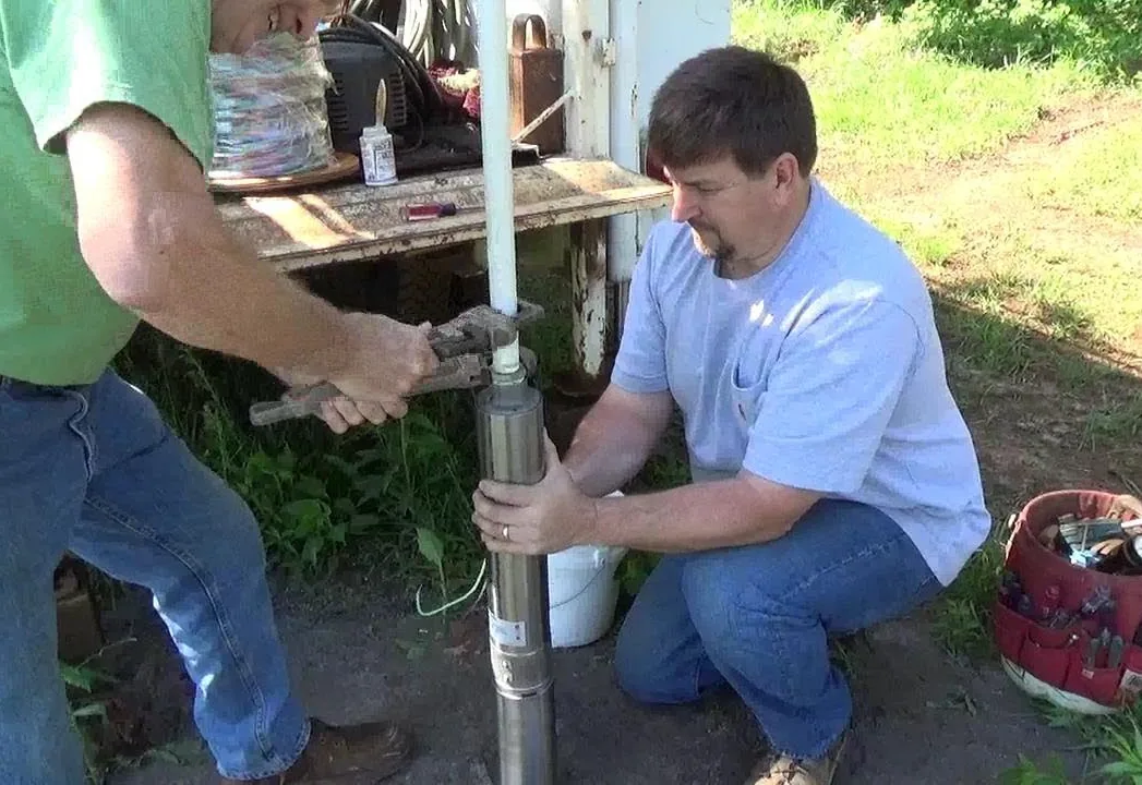
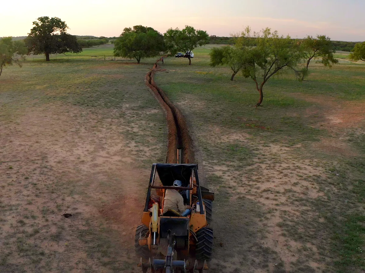
Before the rig moves, we read the well records near your parcel. The free estimate spells out the depth range, the casing, the seal, the pump and the tank. Our pump crew sets the submersible pump and runs the trench and water line to the house.
No water at the tap can mean a failed switch, tank or pump, or just a tripped breaker. A pressure tank low on air makes the pump start and stop too often, which wears on the pump. We take well and pump calls 24 hours a day, seven days a week. From our Riverdale yard we take Highway 41, Mountain View Avenue and Academy Avenue into Sanger.
Communities and areas we serve around Sanger: Del Rey, Centerville, Minkler, Parlier, Reedley, Piedra, Yokuts Valley, Dunlap.
Sanger ZIP codes served: 93657.